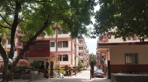
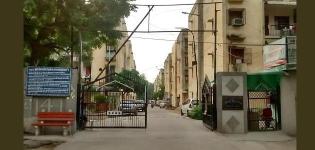
HM World City is a large residential apartment community in the JP Nagar 9th Phase-Uttarahalli side of South Bengaluru. The project sits close to Kanakapura Road, Konanakunte, Anjanapura and the expanding residential belt south of JP Nagar. This location gives residents access to the Green Line of Namma Metro through stations on Kanakapura Road, while major roads connect towards Banashankari, Jayanagar, NICE Road and southern Bengaluru. The area has developed rapidly with schools, supermarkets, hospitals and apartment communities, so daily facilities are available without travelling to the city centre. HM World City is particularly relevant for households looking at South Bengaluru rather than the eastern IT corridor. The practical points to consider are last-mile metro access, Kanakapura Road traffic, connections to NICE Road and the distance to major employment destinations.
Quick About HM World City Apartment

| Particular | Details |
| Property/Apartment | HM World City |
| Locality | JP Nagar 9th Phase / Uttarahalli side, South Bengaluru |
| PIN Code | 560062 |
| Nearby Metro | Konanakunte Cross on the Green Line; other Kanakapura Road stations are also practical |
| Major Roads | Kanakapura Road, JP Nagar roads, NICE Road, Uttarahalli-Kengeri connections |
| Nearby Areas | JP Nagar, Konanakunte, Anjanapura, Uttarahalli, Doddakallasandra |
| Railway Access | Kengeri and KSR Bengaluru City are useful rail options depending on train |
| Airport | Kempegowda International Airport |
HM World City JP Nagar 9th Phase, Bengaluru Location
HM World City lies in the southern extension of JP Nagar, close to the Uttarahalli and Anjanapura side. The neighbourhood has changed from a peripheral residential belt into a dense apartment corridor with schools, supermarkets, clinics and local commercial streets. Kanakapura Road is the main metro-and-road spine nearby, while NICE Road provides a valuable bypass connection for longer cross-city journeys. Residents can also use JP Nagar and Uttarahalli routes for access towards Jayanagar, Banashankari and central South Bengaluru.
Connectivity
Metro Connectivity
Konanakunte Cross on the Green Line is one practical station for HM World City residents and is reached by a short road journey. Other stations along Kanakapura Road may suit different routes. The Green Line provides direct travel towards Banashankari, Jayanagar, Majestic and north Bengaluru, making metro useful for commuters who can manage the last-mile connection from the apartment.
Road Connectivity
For regular road travel, the following routes are the most useful:
- Kanakapura Road is the main corridor towards Banashankari, Jayanagar and central Bengaluru, with Green Line metro stations along it.
- NICE Road provides cross-city access towards Electronic City, Mysore Road and western Bengaluru.
- JP Nagar internal roads connect the project with established South Bengaluru residential and commercial areas.
- Uttarahalli-Kengeri side roads provide alternatives towards Mysore Road and south-west Bengaluru.
Railway and Airport Access
Kengeri can be useful for trains on the Mysuru side, while KSR Bengaluru City Junction is the main central terminal for many long-distance services. The airport is far from South Bengaluru, so road travel should be planned with a generous buffer, especially during peak periods.
Nearby Areas
- JP Nagar: A large established South Bengaluru residential-commercial area with restaurants, schools and metro access.
- Konanakunte: An important Kanakapura Road neighbourhood with Green Line access and everyday retail.
- Anjanapura: A growing residential locality south of JP Nagar with metro and road connections.
- Uttarahalli: An established South-West Bengaluru neighbourhood with markets, schools and routes towards Kengeri.
- Doddakallasandra: A Kanakapura Road locality with metro access, residential development and local shopping.
Schools, Hospitals and Daily Facilities Nearby
| Category | Nearby Options |
| Schools/Education | National Public School JP Nagar and several schools around JP Nagar, Konanakunte and Uttarahalli |
| Hospitals/Healthcare | Narayana Nethralaya and hospitals/clinics across JP Nagar and Kanakapura Road |
| Shopping | D-Mart Kanakapura Road, JP Nagar retail areas and neighbourhood supermarkets |
| Daily Needs | Groceries, pharmacies, restaurants, banks and delivery services are widely available |
Living in the Area
HM World City offers a South Bengaluru lifestyle with more reliance on Kanakapura Road and NICE Road than on Outer Ring Road. The Green Line gives residents a useful public-transport option, while JP Nagar provides established shopping, dining and education. For households working in South Bengaluru, the location can be practical; cross-city trips to Whitefield or north Bengaluru remain much longer. Traffic around Kanakapura Road and major junctions can slow at peak hours, so metro-assisted travel is worth considering. Residents should also evaluate the exact last-mile route to the station, because that can affect the convenience of using metro every day.
FAQs
Q. Which metro station is practical for HM World City?
Konanakunte Cross on the Green Line is one of the more practical options, with other Kanakapura Road stations also available depending on the route. A short last-mile road connection is required.
Q. Is NICE Road useful from this location?
Yes. NICE Road is valuable for trips towards Electronic City, Mysore Road and western Bengaluru because it can avoid some inner-city routes. Entry choice depends on the destination.
Q. Are schools and shopping available nearby?
Yes. The JP Nagar-Kanakapura Road belt has several schools, supermarkets, local markets and healthcare facilities, with larger shopping options available farther north in JP Nagar and Banashankari.
Q. Is HM World City convenient for central Bengaluru?
The Green Line provides a direct public-transport route towards Jayanagar, Majestic and farther north. Driving is also possible through Kanakapura Road, though peak-hour congestion should be considered.